Davis Lake

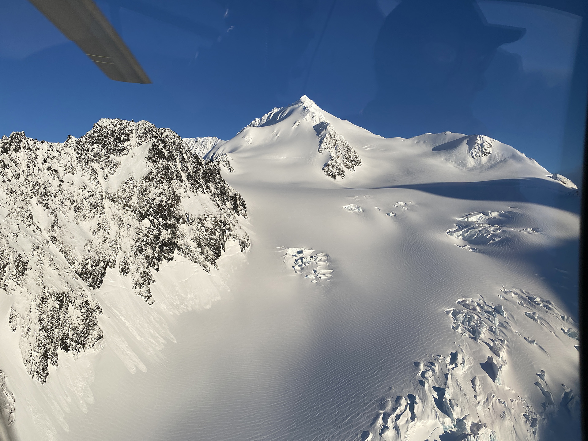
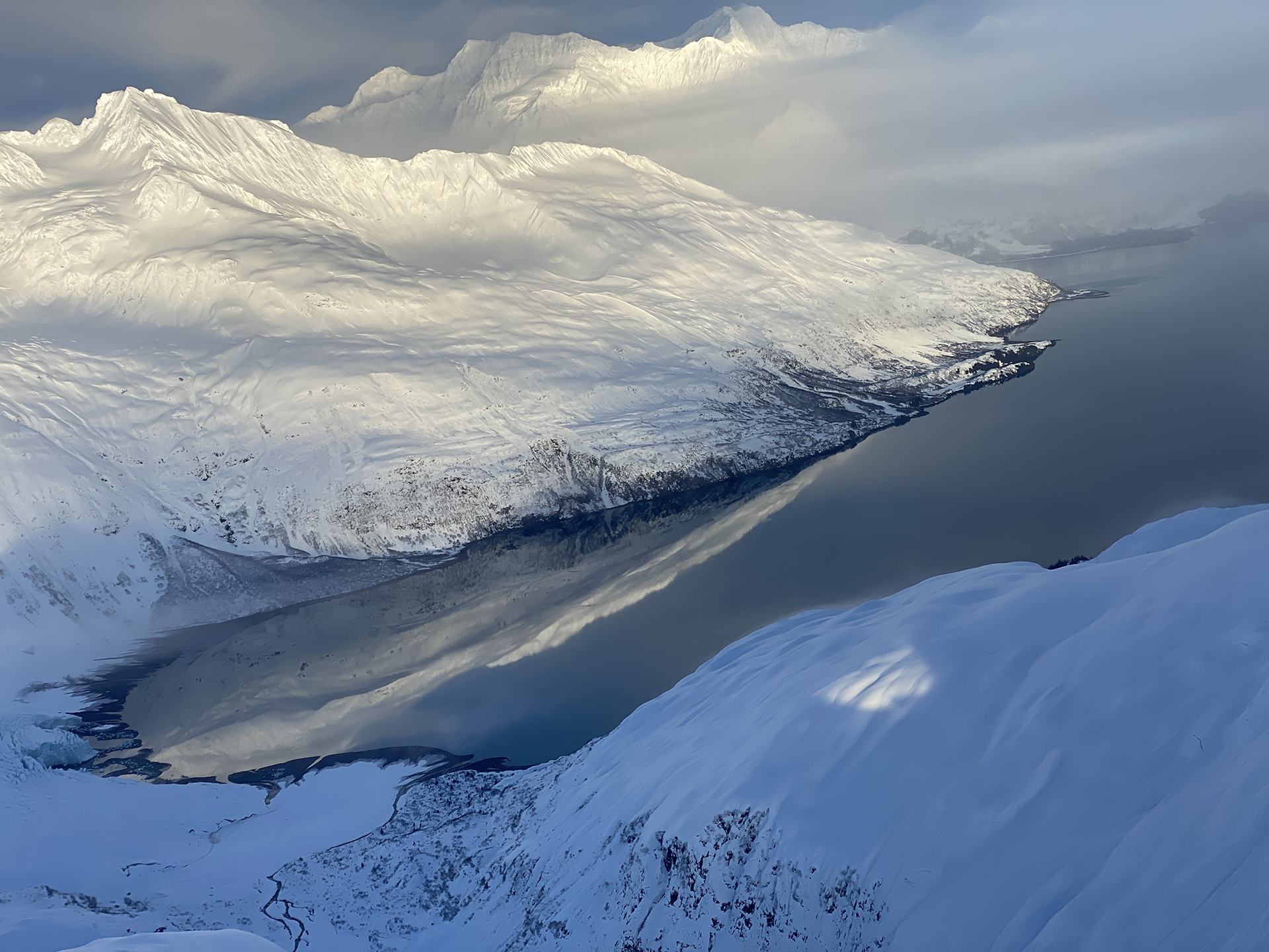
The Davis Lake Project comprises of 182 Federal Lode Claims covering 3,460 acres (14 km2) and 10 State Mining Claims covering 1,610 acres (6.52 km2). The project is located approximately 100 km east of Anchorage and is contained within the Chugach National Forrest. The Davis Lake Project is hosted in greywacke flysch of the Upper Cretaceous Valdez Group. The Davis Lake Project is an early-stage gold project. CSA Global is of the opinion that the Davis Lake Project offers good potential to host economic orogenic or intrusion related gold mineralisation.

The Chugach National Forest lands have had a long history of mineral activity. In 1848, a Russian surveyor discovered gold in the Russian River area and placer gold was mined by the Russians near Kenai Lake in the early 1850s. Strong interest in mineral development came after the United States purchased Alaska in 1867. By the late 1800s, placer gold miners were active in the Kenai Peninsula area. Prospectors subsequently discovered lode gold deposits on the Kenai Peninsula, near Girdwood, in northern Prince William Sound, and near Valdez. The first notable production came in 1911 from mines in the Falls Creek area. Placer and lode gold production within the Chugach National Forest is estimated to total 204,000 ounces of gold and 34,200 ounces of silver, whereby majority of the gold production occurred in the 1930s and 1940s. Little or no production from lode gold deposits has taken place since 1956. Many of the past‐producing properties were not mined out, and additional mineralisation likely remains.

Gold mines on the Davis Lake Project include Golden Eagle, Nugget, Golden Wonder #9, Sweepstake, Griset, Morning Star, and Golden Wonder #1.

Similar to the Valdez Project, the Davis Lake Project is hosted in greywackes of the Valdez Group. Several quartz veins have been exploited in historical mining operations mainly during the early part of the last century. The project has not been explored with modern exploration techniques and mapping was restricted to overview mapping. There is a limited number of rock chip and stream sediment samples listed in the USGS Alaska database.

Recent Project Images

The project is situated in the same terrane and tectonic setting as the Valdez Project in an accreted terrane along the western margin of Alaska. During accretion, eastward-directed subduction occurred, and the accretion was accompanied by the intrusion of near arc magmatic rocks. Subduction and accretion and subsequent southerly directed wrench tectonics resulted in brittle structures and large-scale, strike-slip structures facilitating fluid flow and the emplacement of gold-bearing quartz veins. The intrusion of magmatic rocks potentially provided fluids to the mineral system. This tectonic setting is similar to that of economic, orogenic gold mineralisation in the Archean terranes (e.g. Yilgarn Craton in Australia, and Abitibi in Canada) and that of older accreted terranes in Alaska hosting significant economic intrusion related or orogenic gold deposits such as Pogo or Fort Knox. Given the similarities in the tectonic setting, CSA Global believes that orogenic and intrusion-related gold mineralisation are the most likely target in the Davis Lake Project.

Historical sampling by USGS geologists targeted quartz veins in and around the historical mines. The reported gold grades demonstrate the presence of gold mineralisation in these quartz veins. Although these analyses results are historical, samples were mostly analysed using fire assay and atomic absorption methods which are still dominantly used today to determine gold concentrations. CSA Global is of the opinion that these methods are reliable and that the historical results accurately reflect gold grades in quartz veins in and around the old mine workings.

The Davis Lake Project has not been explored with modern exploration techniques and there is no geological map available. Most of the geological observations are related to the vicinity of the historical mines and are focused on host rock type and style of mineralisation. There is a limited number of rock chip and stream sediment samples listed in the USGS Alaska database. Importantly, there has been no drill testing of any of the quartz veins and hosting structures. Historical miners were only able to extract highest grade, visible gold from the quartz veins and mining likely ceased due to economic pressures at the time. CSA Global believes that there is an excellent opportunity to locate further gold mineralisation using modern exploration techniques as proposed by Delta Ridge.

Delta Ridge has identified one historical mine and 15 historical prospects on the project. The depth extent of historical mine workings was constrained by the tools and methods used at the time and by the low availability of timber in the Arctic region. CSA Global considers it very likely that drill testing will locate extensions of mineralised quartz veins and new mineralised vein sets which are not exposed at surface.

In summary, CSA Global interprets that the Davis Lake Project contains:

  • One historical mine and 15 prospects ready for drill testing
  • About 7 km of untested stratigraphy and structure

CSA Global considers the Davis Lake Project to be a very early greenfields stage project, with encouraging results from historical mining warranting substantial further work.